How to access Street View in Google Maps
You’re just a few taps away from exploring the world
https://www.androidpolice.com/how-to-access-street-view-in-google-maps/
Google Maps is an indispensable tool that guides us through both known and unknown territory, making it easier than ever to find where you’re going. It might’ve taken away the fun of asking directions – Gary Turk strongly feels this – but it’s also given us some impressive tools to play with, like Street View.
Street View has been a long-standing feature of Maps that invites you to glide through mapped roads and trajectories around the globe on the screen in front of you. It’s effortless to use and has proven to play an instrumental role in planning trips – and helpful in virtually escaping the reality of the pandemic.
If you’ve never used it before, first check if the feature is available in your country. In certain nations, like India, where the government has denied permission for Google to operate its 360° image-capturing cars or rigs, you can still find imagery submitted by contributors like you and me.
How to access Street View on the mobile app
If you’re using the mobile app on your Android or iOS device, here’s how to do it:
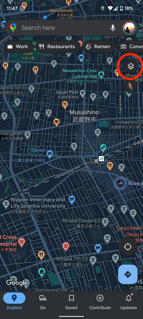
- Open the Google Maps app and locate the Layers icon in the top-right part of the display (marked in the image below).
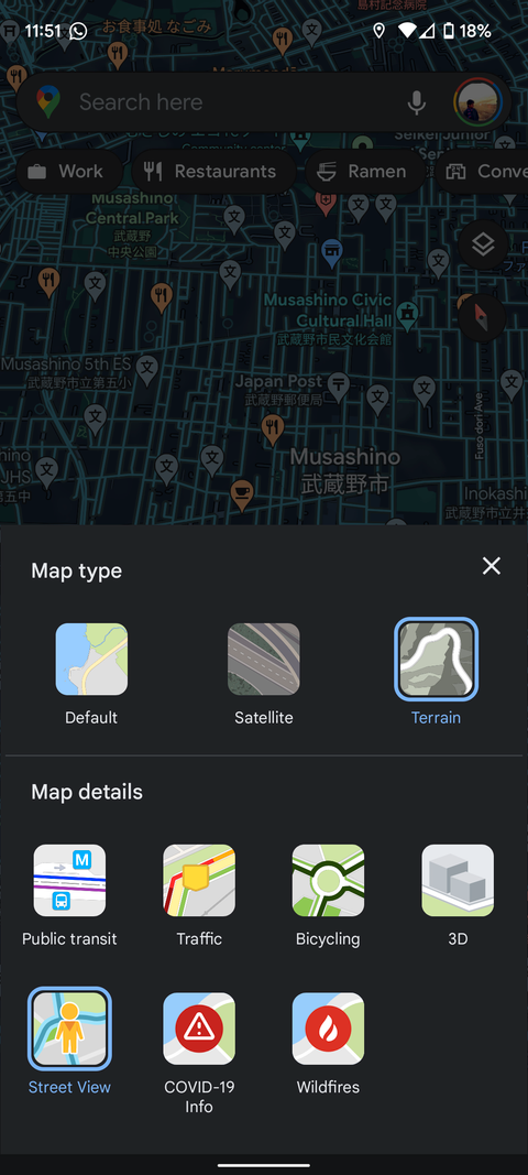
- Tapping on this will reveal the various map types and details you can choose to display.
- Tap on Street View from the details submenu.
- Now go back or simply tap outside the layers menu to access the map.
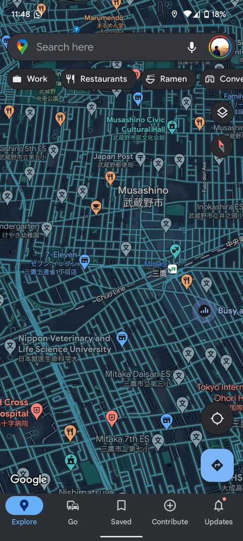
5. If Google Street View is available in the region you’re looking at, all the pathways and roads will be overlaid with a blue line.
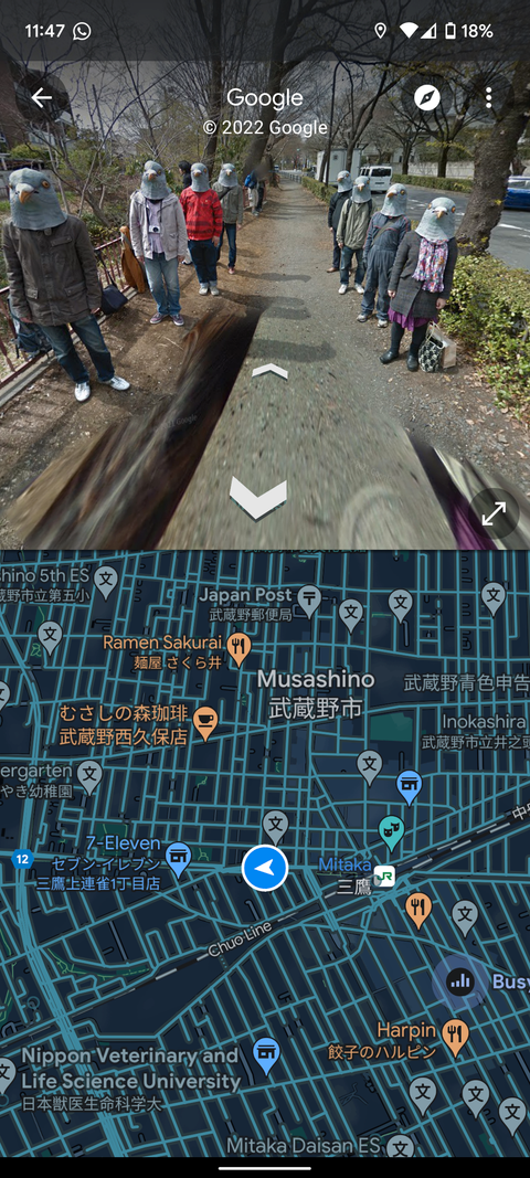
6. Tap anywhere on the blue line, and the app will open a split-screen setup. The top half will show you the Street View, while the bottom will show you a map in case you want to hop around the area.
7. There’s also an option to go full screen in Street View mode in case you have a tourist’s eyes. You can access this by tapping the expand icon in the bottom right of the street view window.
8. Moving around is easy as tapping the directional arrows or double-tap in the direction you want to go. You can even zoom in to get a closer look.
How to access Street View on the web
If you’re using your desktop or laptop to access Street View, here’s how to do it:
- Navigate to maps.google.com.
- Click on the yellow Street View logo in the bottom-right, and the map will be overlaid with a blue line over roads and paths.
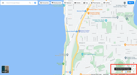
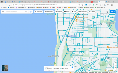
3. If you’re in Satellite View, you can double-click on any road to launch Street View. If you’re using a mouse, you can even use the scroll wheel to zoom in and out of Street View mode.
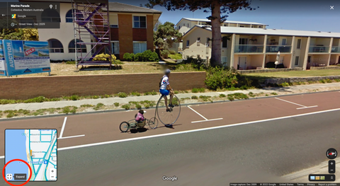
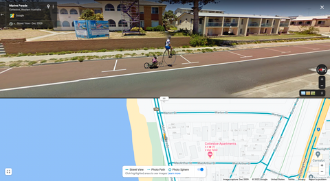
4. The web also offers a split-view in which Street View occupies the top half while the bottom half shows the map. To enable this, hover over the map preview and click on the Expand icon in the bottom left.
5. Moving around is as simple as double-clicking in the direction you want to go. Zooming in and out is made possible by buttons in the bottom-right corner (also possible with a mouse scroll wheel or trackpad).
6. For those who don’t get to travel as much as they’d like, Street View is a great way to virtually experience sights around the world. Enjoy exploring.
Google Street View in Aruba
Google Street View is in full development, you can also help to finish it or update it, with your support we can achieve it completely, contact us today.
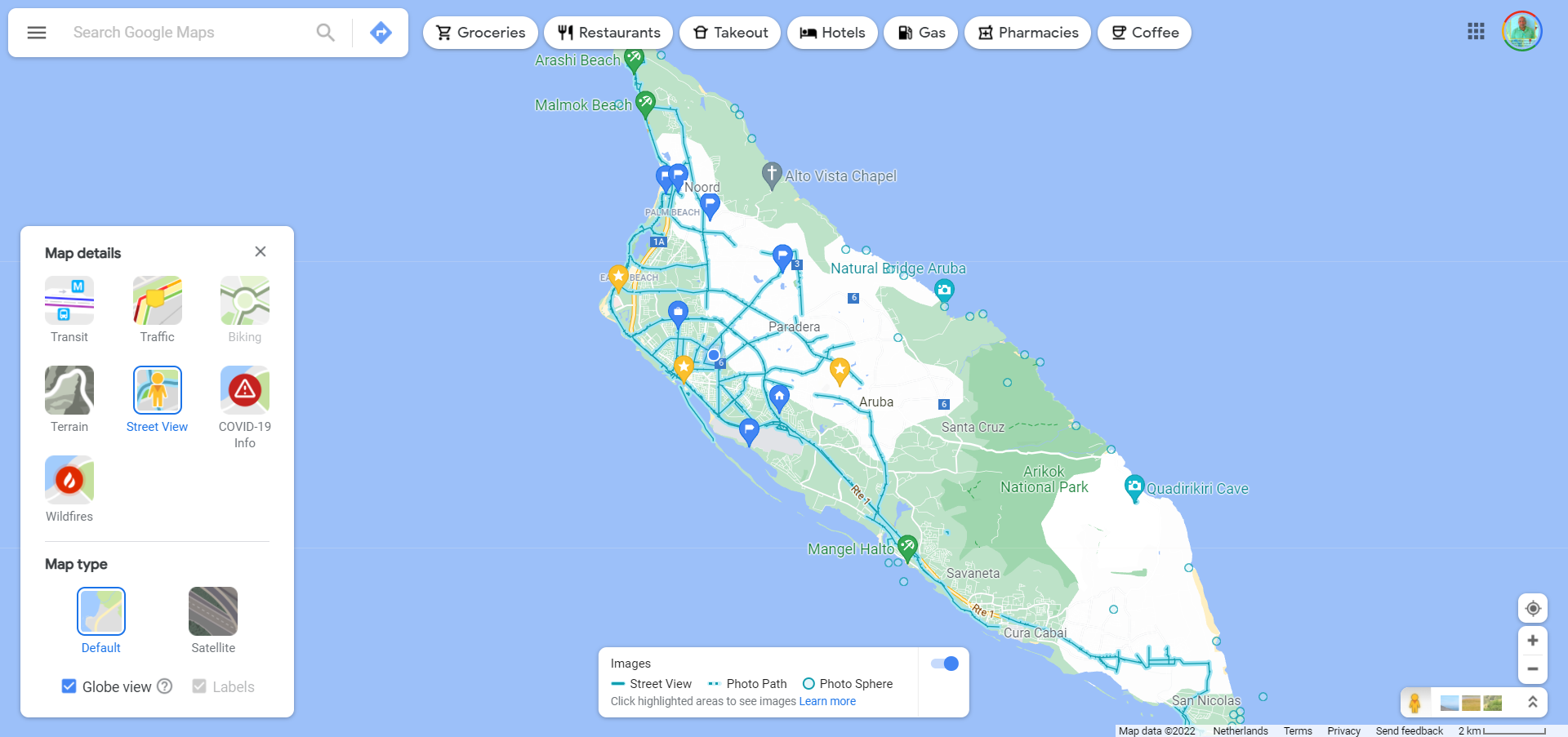
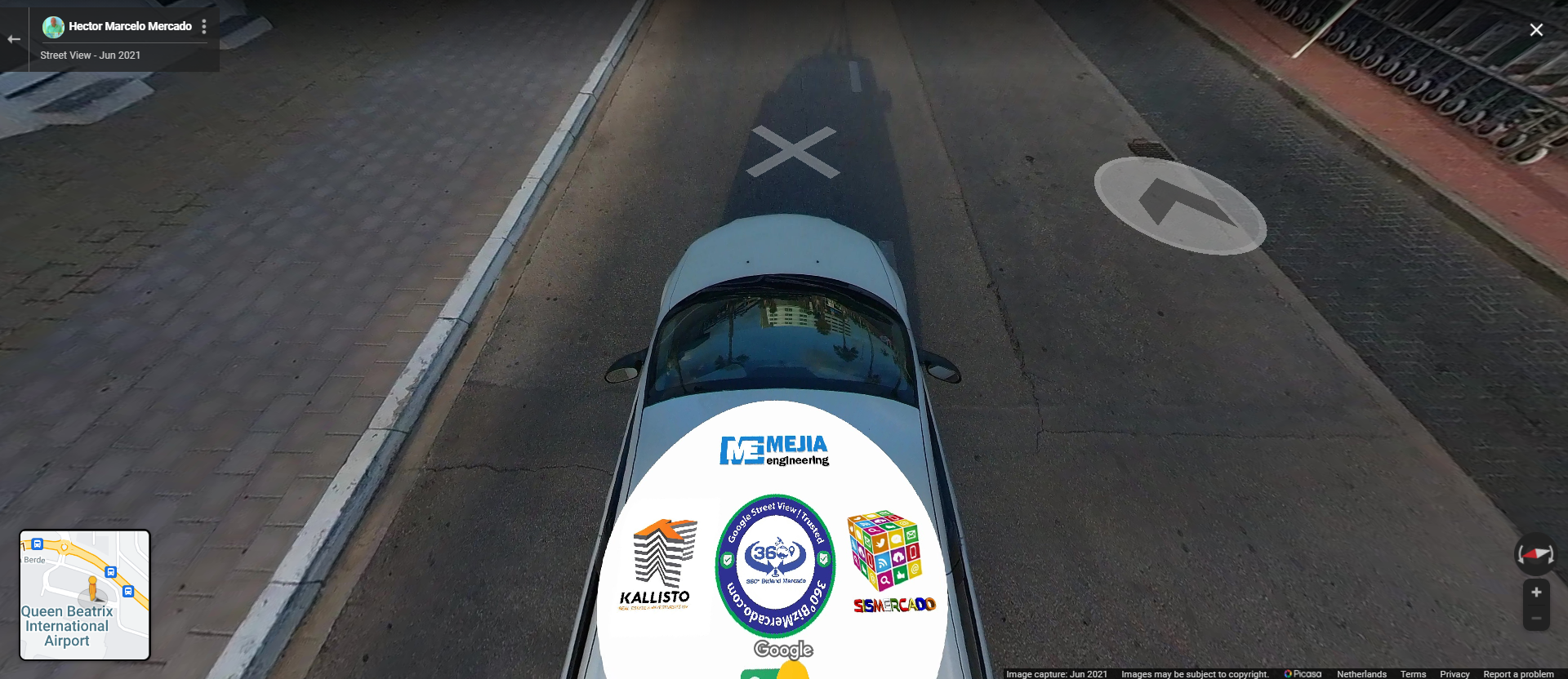
We are conducting GOOGLE STREET VIEW for Aruba with our own effort, to cover all of Aruba and perform all the full upgrade tasks for the benefit of Aruba.
We need the support of all Aruba Stakeholders to achieve this goal and continue to make all updates pertaining to Aruba’s Google Street View.
Contact Hector Mercado: +297-734-1122 or email sismercado@gmail.com
